

SURVEYING &
VISUALIZATION
Providing precise land surveys, 3D renderings, and CAD solutions to ensure accurate planning and flawless execution for projects in Phuket, Koh Phangan & Koh Samui.
De-risk your build
Local crew, 5-7 business-day delivery.
Accurate, clean survey data—priced upfront.
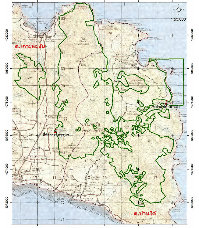
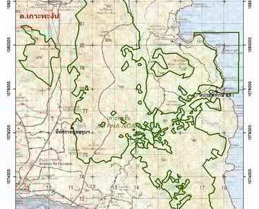
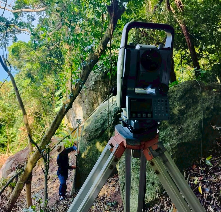
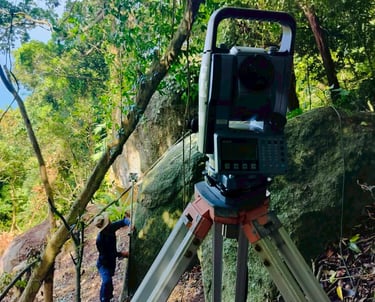
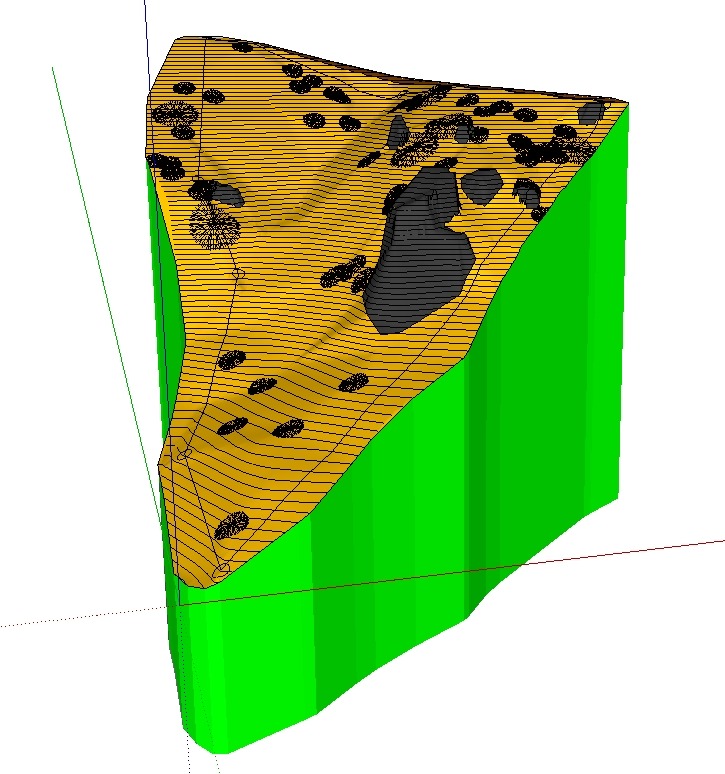
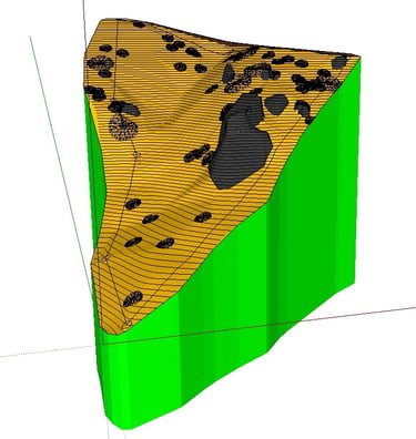
LAND & TOPOGRAPHIC SURVEYS – Mapping for Precision
Land and topographic surveys provide accurate mapping of terrain, elevations, and existing features, essential for architects and engineers during the design phase. Whether dealing with flat, sloped, or complex landscapes, these surveys guide structural planning, foundation requirements, and site utilization to ensure smooth construction.
SOIL TESTING – Essential for Structural Integrity
Soil testing determines foundation depth, load capacity, and stability, preventing costly structural issues. Engineers use this data to design safe, long-lasting buildings, especially on challenging terrains. Investing in soil testing now can prevent future risks and expenses.
CAD, 3D MODEL – Visualizing Your Project
Using collected survey data, we create detailed CAD drawings, 3D models, and visualization plans for precise project execution. These digital outputs enhance design accuracy, material estimation, and construction planning.
